|
| ASTER DEMs |
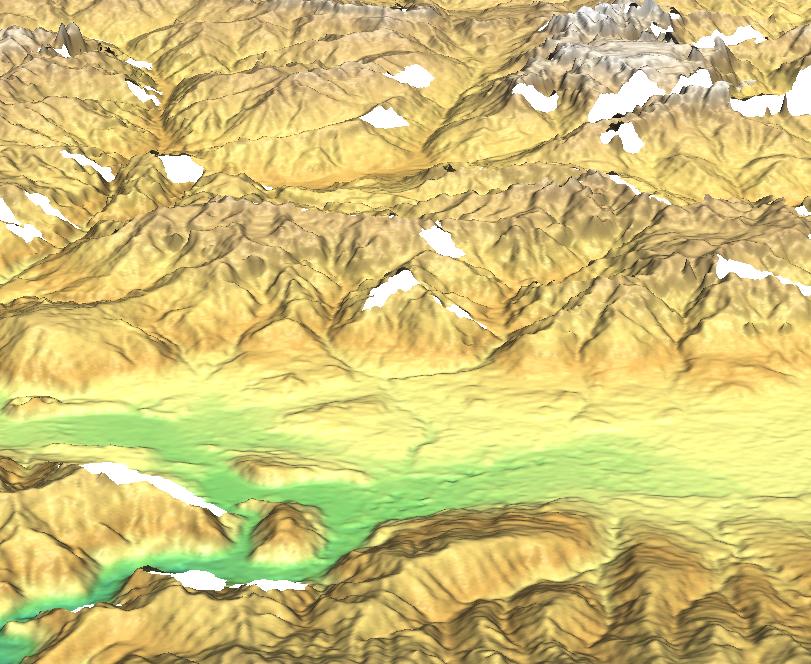
The ASTER data set contains topographic information derived from the along-track, 15 m ASTER optical stereo data acquired in near-infrared bands 3N and 3B. These high spatial resolution DEMs (up to 7 m absolute horizontal and vertical accuracy with appropriate ground control, and up to 10 m relative accuracy without ground control) can be used to derive absolute slope and slope aspect good to 5 degrees over horizontal distances of more than 100 m. ASTER DEMs should meet 1:50,000 to 1:250,000 map accuracy standards ([1]:112). An autocorrelation approach using proprietary software at the LP-DAAC produces DEMs from Level-1A or 1B digital stereo pairs. Both absolute DEMs as well as relative DEMs are produced. For an absolute DEM Ground Control Points (GCPs) must be provided for the area of interest. A relative DEM is generated by using only the satellite ephemeris data and is horizontally not nearly as accurate as the absolute DEM.
In summary, two types of ASTER-DEM are available:
gdalinfo ASTER_DEM20020827134235.hdf | grep DEMType
  DEMType=Relative
GRASS can directly import ASTER-DEM (import into a UTM/WGS84 location).